Sailing from Gibraltar to the Canary Islands: Passage Guide

The passage from Gibraltar to the Canary Islands covers roughly 750 to 850 nautical miles, depending on your route and how far offshore you swing to dodge the shipping lanes and Moroccan coast. It's one of the classic southbound legs for cruisers heading to the trade wind belt — and for good reason. The sailing is mostly downwind, the weather windows are predictable from late September through December, and the Canaries reward you with volcanic anchorages, cheap provisioning, and a ready-made fleet of fellow bluewater sailors plotting their Atlantic crossings.
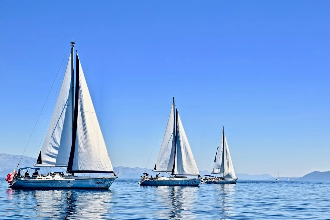
Photo by Karla Car on Unsplash
But this passage isn't a milk run. The waters off the Moroccan Atlantic coast have earned their reputation — strong north-to-northeasterly winds, confused swells where the Mediterranean outflow meets the Atlantic, and commercial traffic thick enough to keep you glued to the radar. Here's what you need to know before casting off.
Distance, Duration & Route Options
The straight-line distance from Gibraltar's Europa Point to Las Palmas de Gran Canaria is approximately 750 nm. In practice, most boats sail closer to 800–850 nm once you account for routing around Cape Spartel, clearing the Moroccan coast, and choosing your final approach to the Canaries. You can calculate the exact distance between Gibraltar and Las Palmas using Breezada's sea distance calculator — useful for planning fuel reserves and ETA.
Typical passage times:
| Boat Type | Average Speed | Estimated Duration |
|---|---|---|
| 35–40 ft monohull | 5.5–6.5 kn | 5–7 days |
| 40–50 ft cruiser | 6.5–7.5 kn | 4.5–6 days |
| Catamaran 38–45 ft | 7–9 kn | 4–5 days |
| Motoring (calm patches) | 5–6 kn | 6–8 days |
Most cruisers budget 5 to 7 days for the trip. Fast boats with cooperative wind have done it in under 4. I've also heard of passages stretching to 9 days when the wind dies south of Casablanca and the engine hours start piling up.
Route 1: Coastal Hop via Morocco
Some sailors prefer to break the passage into shorter legs by stopping along the Moroccan coast. Ports like Mohammedia, Rabat-Salé, Safi, and Agadir offer shelter, though entry formalities vary and marina infrastructure is limited outside Agadir. This route adds distance — roughly 900–950 nm total — but eliminates multi-day offshore stretches.
Pros: Shorter overnight watches, cultural stops, ability to wait for weather.
Cons: Moroccan port bureaucracy, limited marina space, risk of getting wind-trapped in an uncomfortable harbor, and the notorious swell along the Atlantic Moroccan coast.
Route 2: Direct Offshore Passage
The more common choice. You exit the Strait of Gibraltar, clear Cape Spartel, set a course roughly SSW, and stay 30–80 nm off the Moroccan coast until you turn west for the Canaries somewhere around latitude 29°N. This keeps you clear of the worst shipping traffic and the shallow coastal waters while allowing the Portuguese trades to fill in from the north or northeast.
This is the route I'd recommend for boats with experienced crew comfortable with 5+ days offshore. You'll see more consistent wind, fewer fishing vessels, and a cleaner swell pattern than the coastal crawl.
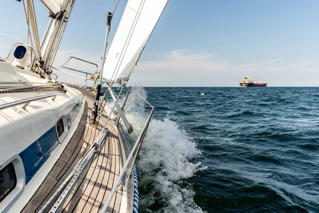
Photo by Michael Held on Unsplash
Weather Patterns & Timing
Best Season: October to December
The October–December window is when the passage works best. Here's why:
- Portuguese Trades — Northerly to northeasterly winds of 15–25 knots dominate the eastern Atlantic from Gibraltar south. These are your highway to the Canaries.
- Hurricane season — While technically still active in November, tropical systems this far east are extremely rare. The Azores High sits favorably, pushing fair weather south along your route.
- Swells — Atlantic swell builds through autumn, typically 1.5–2.5 meters from the north-northwest. Manageable, but it stacks up against the current off Cape Spartel and near the Canary approaches.
Weather to Avoid
- Summer (June–August): The Levante — a fierce easterly that funnels through the Strait of Gibraltar — can pin you down for days. Even when you escape, summer wind south of Morocco tends to be lighter and less consistent.
- January–March: Atlantic lows track further south, bringing gale-force westerlies that make the passage uncomfortable and sometimes dangerous. The ARC fleet departs Las Palmas in late November for a reason.
- Vendavales: Autumn westerly gales in the Strait itself. They're short-lived (2–3 days) but fierce. Check GRIB files and wait them out in Gibraltar or Tarifa.
Weather Routing Tools
Download 48-hour GRIB files from Saildocs, PredictWind, or Windy before departure and every 12 hours underway if you have satellite comms. Focus on:
- Surface wind — looking for sustained 15–25 kn from the N/NE
- Wave period and height — anything over 3m with short period makes this passage rough
- Pressure systems — track the Azores High position; when it drifts east, your trades strengthen
Clearing the Strait of Gibraltar
The Strait is the crux of this passage. It's 8 nm wide at its narrowest, funnels currents up to 3–4 knots, and hosts some of the densest commercial shipping in the world. Here's how to manage it:
Tidal current: An eastward surface current runs into the Mediterranean most of the time, overlaid by tidal variations. Leaving eastbound (heading south out of the Strait), you want to catch the tide running west. Time your departure from Gibraltar Marina or Queensway Quay to carry the ebb current through the Strait — typically 6 hours before high water at Tarifa.
Shipping lanes: A Traffic Separation Scheme runs through the Strait. Westbound traffic keeps to the south (Morocco side), eastbound to the north (Spain side). Cross at right angles, maintain a sharp radar watch, and keep your AIS transmitting. At night, the volume of commercial traffic is genuinely intimidating the first time you see it.
Cape Spartel: The northwestern tip of Morocco, where the Strait opens to the Atlantic. Expect confused seas here — the Mediterranean outflow collides with Atlantic swell. Waves stack, the current eddies, and the wind can shift 30° in minutes. Don't linger. Once you're past Spartel and 5 nm into the Atlantic, conditions settle.
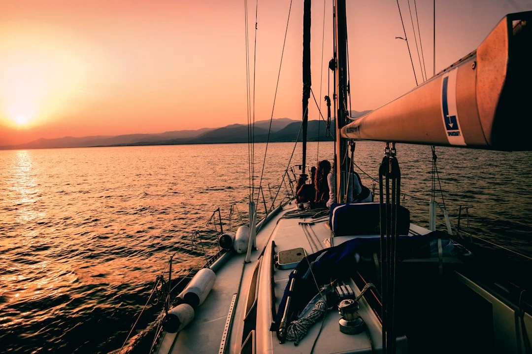
Photo by Markos Mant on Unsplash
The Offshore Leg: Morocco to Canaries
Once clear of the Strait, the passage settles into an offshore routine. The first 24–48 hours are typically the most variable — the wind may be light or patchy as you exit the Mediterranean's influence zone. By the time you're abeam of Casablanca (roughly 33.5°N), the Portuguese trades usually fill in properly.
Watch Schedule
For a crew of 3–4, a 3-hours-on, 6-hours-off rotation works well on a 5-day passage. With a couple, you're looking at 4 on, 4 off — tiring but manageable if you nap aggressively during the day. Solo sailors should set alarms every 20 minutes and rely heavily on radar guard zones and AIS alarms. If you're planning a longer offshore voyage after this, our guide on how long it takes to sail across the Atlantic covers crew management for extended passages in detail.
Sail Configuration
- Day 1–2 (exiting Strait, light-variable winds): Full main, genoa. Motor-sail if wind drops below 8 knots — there's no prize for drifting.
- Day 2–4 (trades filling in): Reef the main to the first or second reef, poled-out genoa or set a cruising spinnaker for dead downwind angles. The apparent wind feels lighter than it is because you're running — watch your speed-over-ground and reef early before the sea state builds.
- Day 4–5 (approaching Canaries): Wind often accelerates between the islands due to the venturi effect. Winds of 25–35 knots in the channels between Gran Canaria and Tenerife are common, even when open-ocean conditions are moderate. Have a plan for your approach — arrive rested, with a reef already in. If you need a refresher on the procedure, our step-by-step guide to reefing a sail walks through the full sequence.
Fishing Boats
Between Gibraltar and Agadir, the Moroccan fishing fleet is extensive. Many boats are poorly lit or show no AIS. Maintain a radar watch especially at night and in the approaches to major ports. Give them wide berth — their nets can extend half a mile from the vessel.
Arriving in the Canary Islands
The classic first landfall is either Lanzarote (Marina Rubicón or Arrecife) if approaching from the northeast, or Gran Canaria (Las Palmas, Puerto de Mogán) if heading directly south. Las Palmas is the most popular staging point for the Atlantic crossing, thanks to the ARC rally departing from here each November.
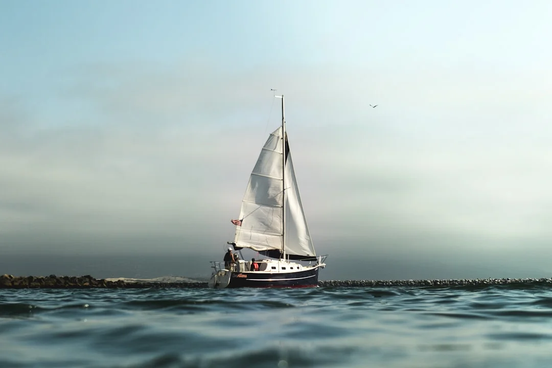
Photo by Jeremy Bishop on Unsplash
Port Options
| Port | Island | Marina Cost (per night, ~40 ft) | Notes |
|---|---|---|---|
| Las Palmas (Muelle Deportivo) | Gran Canaria | €25–35 | ARC hub, excellent provisioning, chandleries |
| Puerto de Mogán | Gran Canaria | €30–40 | Quieter, beautiful village, good shelter |
| Marina Rubicón | Lanzarote | €35–45 | Modern, well-protected, good facilities |
| Arrecife | Lanzarote | €20–28 | More basic, cheaper, close to town |
| Santa Cruz Marina | Tenerife | €25–35 | Large, good boatyards for repairs |
Customs and immigration: The Canary Islands are part of Spain (EU), so European-flagged boats clear in simply. Non-EU vessels should carry ship's papers, passports, and be prepared for Guardia Civil boarding — it's routine and usually quick. You can verify the distances between Canary Islands ports if you plan to hop between islands before your next passage.
Anchoring in the Canaries
If you prefer anchoring to marinas, the Canaries offer several good spots — though the swell can wrap around headlands and create rolly conditions. Playa Francesa (La Graciosa), Bahía de las Nieves (La Palma), and the south coast of Tenerife are popular. For technique and gear selection, our guide to anchoring a sailboat covers scope ratios and overnight setup in detail.
Provisioning & Preparation Checklist
Before leaving Gibraltar, stock up — it's one of the best provisioning stops in the western Mediterranean.
Boat prep:
- Service the engine, change fuel filters, carry spares
- Inspect standing rigging — the trades put sustained load on your rig
- Check chafe gear on all running rigging, especially halyard-to-sheave contact points
- Top up LPG, carry a spare canister
- Ensure your jacklines and safety tethers are rigged and ready
Provisions:
- Fresh produce for 7–8 days (budget for delays)
- Minimum 2 liters of drinking water per person per day, plus cooking/washing water
- Pre-cooked and vacuum-sealed meals for rough conditions
- Plenty of snacks for night watches — trail mix, crackers, chocolate
Safety equipment:
- EPIRB registered and tested
- Life raft serviced within the last 2 years
- Flares in date
- MOB gear accessible from the cockpit
- First aid kit stocked including seasickness meds (ondansetron, scopolamine patches)
Common Mistakes to Avoid
Leaving without a weather window. The Strait of Gibraltar is not a place to "just go and see." Wait for a clear 48-hour window with no Levante forecast and manageable swell at Cape Spartel.
Underestimating the venturi effect. The wind acceleration between the Canary Islands catches people off guard every year. Boats that have been comfortable for 4 days at sea suddenly find themselves overpowered in 30+ knots with a beam sea. Reef before the channel, not in it.
Carrying too little fuel. Calms south of Casablanca are common, especially early in the season. Budget engine hours for at least 30% of the passage distance at cruising RPM. Running out of fuel in the shipping lanes off Morocco is not where you want to be.
Skipping the Strait tidal calculations. Fighting 3 knots of adverse current through the Strait can turn a 2-hour transit into 6 hours of misery. Time it right.
Frequently Asked Questions
How far is it from Gibraltar to the Canary Islands by sea?
The distance from Gibraltar to Las Palmas de Gran Canaria is approximately 750 nautical miles in a straight line and 800–850 nm on a typical sailing route that accounts for offshore routing past the Moroccan coast. The exact distance depends on whether you take a coastal route with port stops or a direct offshore passage.
What is the best time of year for sailing from Gibraltar to the Canary Islands?
October through early December is the prime window. The Portuguese Trades provide consistent northerly winds of 15–25 knots, the Levante winds in the Strait are less frequent than in summer, and Atlantic lows haven't begun their winter track yet. Most ARC participants make the passage in late October or November to arrive in Las Palmas for the late-November departure.
Do I need any special certifications or permits?
No special permits are required for the passage itself — both Gibraltar and the Canary Islands are accessible to recreational sailors. However, you should carry your ICC (International Certificate of Competence) or equivalent national qualification, valid ship registration documents, adequate insurance (many marinas require third-party liability), and passports for all crew. Non-EU boats entering Spanish waters should be prepared for customs inspection.
Can I make the passage solo?
Yes, many solo sailors complete this passage safely. However, it demands thorough preparation: a reliable autopilot or wind vane, radar alarm zones set for commercial traffic, AIS, and a strict rest discipline with 20-minute alarm intervals. The biggest solo challenge is the Strait of Gibraltar crossing, where traffic density requires constant vigilance. Consider transiting the Strait with another boat if possible.
What are the main hazards on this route?
The primary hazards are commercial shipping in the Strait of Gibraltar, strong tidal currents at Cape Spartel, poorly lit Moroccan fishing boats operating at night along the coast, wind acceleration in the Canary Islands channels (venturi effect causing 25–35 knot gusts), and confused seas where Mediterranean and Atlantic waters meet. Proper weather routing, AIS monitoring, and conservative sail plans mitigate most of these risks.
How much fuel should I carry?
Plan for enough fuel to motor 30–40% of the total passage distance at economical cruising RPM. For a 40-foot sailboat averaging 5.5 knots under power, that means roughly 40–60 hours of engine time. Calculate your consumption rate and carry reserves. Calms are common south of Casablanca, and you don't want to drift in shipping lanes.
About the Author
Related Articles

When to Reef: Safe Systems for Simple Cruising
Learn when to reef with safe, simple systems for cruising. Reduce heel, stay in control, and sail smarter—read the guide and reef with confidence.
By Breezada Team

Sailing in Greece: Cyclades, Ionian & Dodecanese
Plan sailing in Greece across the Cyclades, Ionian & Dodecanese. Get routes, tips and best times—read now and start your charter!
By Breezada Team

VHF Marine Radio Channels: DSC Setup & Call Scripts
Learn VHF marine radio channels, DSC setup, and call scripts to stay safe on the water. Read the guide and upgrade your radio skills today.
By Breezada Team

Greece Sailing Itinerary: 7 & 14 Days by Region
Plan the perfect Greece sailing itinerary with 7- and 14-day routes by region. Get tips and start mapping your trip today!
By Breezada Team