Sailing British Virgin Islands Itinerary: BVI 7 Days
BVI Sailing Itinerary: 7 Days, Anchorages, Mooring
The sailing British Virgin Islands itinerary looks easy on a chart because the legs are short. The water and the reefs don’t care about your optimism. This loop keeps the miles realistic, gets you into the best water in good light, and bakes in the two things that actually make BVI weeks succeed: arriving early and not getting lazy with mooring/anchoring gear.
Photo by Karl Callwood on Unsplash
BVI Sailing Overview: Weather, Sea State, and Safe Windows
Trade-wind patterns and the ‘easy miles’ myth
Most winter weeks give you E–NE trade winds that sit in the 15–25 kn range for stretches, especially after a front slides through. Those are “easy miles” only if you treat the BVI like offshore sailing, which it isn’t. You’ll be in tight channels with traffic, reefs, sun glare, and boats doing mysterious things at 6 knots while their crew takes photos.
Short legs (often 6–14 nm) tempt crews to depart late and arrive late, which is when the mistakes show up. Plan to cast off early, sail or motor-sail while the light is good, and target a 14:00–15:00 arrival window. In the BVI, the best anchoring decisions are made when you can still see the bottom—and the other guy’s chain.
North swell, swell wrap, and lee-shore traps
The BVI’s dirty secret is north swell. Even when the wind is a friendly easterly, a north swell can wrap into “protected” places and turn your cockpit into a paint shaker. Swell wrap is why one bay can be flat while the next one over is a rolly mess, even with the same wind reading.
A lee shore in BVI terms is simple: a downwind shoreline with limited sea room, reefs close by, and not much margin if your anchor drags at 02:00. If you’re anchored on a downwind beach with 20–25 kn trades and squalls, your exit plan matters more than the sunset. Red flags that should change your itinerary: persistent 25+ kn trades (“Christmas winds”), squall lines with poor visibility, and any north swell forecast that makes open-roadstead anchorages uncomfortable or unsafe.
Seasonality, charter availability, and hurricane constraints
Peak hurricane risk runs August–October, and many operators reduce fleets or shut down chunks of the calendar then. Shoulder seasons can be cheaper—often 10%–35% off peak boat-only rates—but you’re trading money for a wider weather spread. If you book in summer, assume you’ll reroute, and keep a conservative plan near sheltered water.
Operational rhythm matters more than the month. You want to be on the move by 09:00–10:00, be parked by 15:00, and keep your last hour of daylight for problem-solving instead of improvising. If you like numbers, use a tool to calculate the distance between ports during planning so your “quick hop” doesn’t quietly turn into a reef-dodging 14-miler with two snorkel stops and a late arrival.
Captain’s tip (weather reality check): If the forecast says 20–25 kn and “scattered squalls,” shorten your day to 8–10 nm, pick an anchorage with reef protection, and treat the afternoon as parking time—not sailing time.
7-Day BVI Sailing Itinerary (Tortola Loop) with NM + ETAs
Two pacing options: snorkel-heavy vs. sail-more
This loop assumes a typical Tortola turnaround: you board midday, sleep aboard, and you’re back at the base by late afternoon on Day 7. Under power, most charter monohulls cruise 6–7.5 kn, while many cats do 7–9 kn in normal conditions, though slamming into chop will change your enthusiasm quickly. For time math, 12 nm at 6.5 kn ≈ 1 hr 50 min, and at 7.5 kn ≈ 1 hr 36 min.
If you want a snorkel-heavy week, keep legs under 10–12 nm and build in a daily swim stop. If you want more sailing, you can add a beat to weather and still arrive early—just don’t let “one more tack” steal your 15:00 parking deadline. Use this route-and-mileage planner for BVI hops when you’re choosing between inside routes and longer outside arcs for sea room and comfort.
Day-by-day plan: Norman → Cooper/Peter → Virgin Gorda → North Sound → (Optional) Anegada → Jost → Tortola
Here’s a Tortola start/finish loop with distance ranges that reflect routing around reefs and traffic. The numbers are deliberately “bands,” because the BVI is not the place to pretend every skipper draws the same line on the chart.
| Day | From → To | Distance (nm) | Underway time @ 6.5 kn | Underway time @ 7.5 kn | Notes / priorities |
|---|---|---|---|---|---|
| 1 | Road Town → Norman Island | 6–9 | 0:55–1:23 | 0:48–1:12 | Shake-down sail; arrive early for moorings/anchoring |
| 2 | Norman → Peter or Cooper | 4–8 | 0:37–1:14 | 0:32–1:04 | Short hop; snorkel stop en route if light is good |
| 3 | Cooper/Peter → Spanish Town (Virgin Gorda) | 7–12 | 1:05–1:51 | 0:56–1:36 | Position for The Baths day-use moorings early |
| 4 | Virgin Gorda → North Sound | 7–10 | 1:05–1:32 | 0:56–1:20 | Eyeball navigation; mooring fields often 12–25 ft |
| 5 | North Sound → Anegada (optional) | 12–15 | 1:51–2:18 | 1:36–2:00 | Go only with good light/visibility; otherwise stay North Sound |
| 6 | Anegada or North Sound → Jost Van Dyke | 18–25 | 2:46–3:51 | 2:24–3:20 | Early depart; longer day—don’t arrive late |
| 7 | Jost → Road Town | 10–14 | 1:32–2:09 | 1:20–1:52 | Aim to be back with fuel topped and boat tidy |
Photo by Dietmar Lichota on Unsplash
Route planning assumptions (speed, stops, and reef margins)
This itinerary works because it respects the BVI’s two real constraints: daylight and traffic. You’ll lose 30–60 minutes most days to dinghy drops, mooring pickups, and “quick” snorkels that turn into an hour. Build that time into your plan instead of pretending it doesn’t exist.
Set a hard rule: if you won’t be in the mooring field or anchoring area by 15:00, you either skip a stop or shorten the leg. Late arrivals mean low sun, high glare, and a crowded bay where everyone’s chain is lying to you. The easy fix is leaving early and keeping the day’s “fun stop” before lunch, not after.
If Anegada is scrubbed, don’t force it—swap Day 5 for another North Sound day, then take a shorter Day 6 to Jost with better light and less fatigue. Again: Breezada’s sea distance calculator is your friend here, especially when you’re comparing “direct” routes versus comfortable arcs that avoid reef edges and reduce stress.
Best Anchorages in the BVI: Holding, Protection, and Swell Wrap
South-side stops (Norman, Peter, Cooper): convenience vs. congestion
The south side is popular for a reason: it’s close to Tortola, it’s scenic, and it’s usually protected from the worst of the easterly swell. The catch is volume—dozens of boats arrive with the same plan, and by 14:00–15:00 the parking gets creative. If you’re anchoring, look for clean sand and avoid “pretty” patches that are actually grass or coral waiting to ruin your set.
Quick holding-ground read: sand looks light and uniform; grass looks darker and fuzzy; coral looks like rock with sharp edges. If you land on grass or mixed bottom, don’t argue with it—reset immediately. In 15–25 kn trades, a “maybe” set becomes a night problem, and night problems in the BVI tend to come with an audience.
Photo by Kevin Wolf on Unsplash
Virgin Gorda: The Baths access and nearby overnights
The Baths are worth the effort, but the seamanship price is timing. Many areas use National Parks Trust day-use moorings, and anchoring may be prohibited to protect seagrass/coral. If you want a ball, plan to arrive early—think 09:00–10:30—and be ready for surge if any north swell is wrapping in.
If you’re overnighting nearby, prioritize comfort over bragging rights. A bay that’s “close” to The Baths can still roll if a north swell shows up, and a cat with high windage will yaw hard on a single attachment. Look for reef protection, enough depth for your swing, and a clean escape route for morning departures when traffic picks up.
North Sound: comfort, depths, and eyeball navigation
North Sound can be very comfortable in trades, but it punishes lazy navigation. Popular mooring fields are often 12–25 ft (3.7–7.6 m), while entrances and edges shoal quickly, especially near reef margins. You want the sun high, a dedicated helm, and someone on the bow who can say “green-to-brown” before you feel it.
Depth management is constant here. In settled conditions, keep 2–3 ft (0.6–0.9 m) of under-keel clearance as a bare minimum; add margin for swell and squat when motoring. If you’re threading a channel in glare and your depth sounder starts negotiating, slow down and take the longer line—gelcoat repairs are an expensive souvenir.
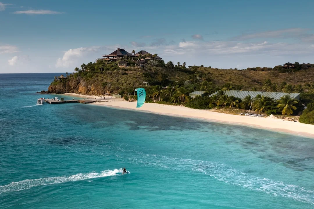
Photo by Nick Rickert on Unsplash
Captain’s tip (arrival tactic): Approach anchorages with the sun behind you when possible. If you must arrive into glare, slow to 3–4 kn, put a sharp-eyed crew on the bow, and treat your depth sounder as a trend tool—not a guarantee.
Mooring Balls in the BVI: Pickup Technique, Chafe, and Fees
How BVI moorings are rigged (ball, pickup line, pennant)
Most BVI moorings present a floating ball with a pickup line leading to a heavier pennant, then down to the anchor block. Your job is to get the working pennant onto a strong point without turning the pickup line into prop confetti. Think of the pickup line as a handle, not the thing you trust overnight.
Before you commit, do a 10-second inspection: look for UV-fuzz, flattened spots, suspect splices, and any line that’s been sawing over a bow roller. If it looks like it’s been through a divorce, it has. ABYC H-40 is the grown-up reference here: mooring loads belong on proper strong points with clean load paths, not on whatever is convenient.
Short-handed pickup: roles, engine handling, and prop safety
With 2–3 crew, assign roles before you enter the field. Helm calls the approach and keeps the ball just off the leeward bow; bow crew handles the boat hook; one floater manages lines and keeps them out of the water. Approach at idle, aim to stop with the ball at the bow, then go to neutral early—your prop is not a line-cutting device.
If you miss, don’t “save it” with throttle. Circle out, reset, and try again; the time cost is 2 minutes, and the alternative can end your week. In crowded fields, keep a proper lookout per COLREGS/USCG Navigation Rules, because boats will cross your bow at the worst possible moment while you’re focused forward.
Attachment best practices: mono cleats vs. catamarans (bridle), chafe control
On monohulls, lead the pennant to a bow cleat that’s properly backed. Don’t run it to lifelines, bow rails, or anything that looks “strong enough” until it isn’t. On catamarans, use a bridle to two attachment points; it reduces yaw, spreads load, and makes the night quieter for everyone aboard.
Chafe is the silent failure mode. Add chafe gear where the pennant touches rollers or fairleads, and make sure the line isn’t riding on a sharp edge at a weird angle as the boat yaws. If you can, set the bridle so the wear point is on sacrificial gear, not on the mooring pennant itself.
Fees and mooring-only zones (and why it matters)
Mooring fees vary, but typical paid ranges are roughly $30–$60/night for many private operators. Park-adjacent or popular fields often feel like $20–$40/night equivalents, depending on site and operator. Budget for 4–6 paid nights if you want predictable parking in peak season, and treat “free anchoring” as a skill-dependent option, not a guarantee.
In protected areas, anchoring may be prohibited to prevent seagrass damage and chain scarring. Respect the rules—besides the environmental side, enforcement can be real, and dragging across coral is a fast way to become unpopular at the next bar. If you need exact leg planning for fuel and arrival timing, estimate your fuel needs based on the voyage distance to help you gauge how many nights you’ll likely pay for moorings based on where you can realistically arrive early.
Anchoring in Crowded Bays: Scope Math, Swing Room, and Etiquette
Scope, rode length, and setting techniques in trade winds
Scope is your insurance policy, and insurers are not known for their generosity. In settled conditions, 5:1 is a sensible minimum; when trades build or squalls are forecast, go 7:1 if the bay allows. Worked example: (15 ft water + 5 ft bow height) × 7 = ~140 ft (43 m) of rode.
Set the anchor like you mean it. Lower, don’t throw; reverse slowly until the chain comes tight; snub to load it, then increase power to confirm it’s dug in. Once set, take bearings and set an anchor alarm—most plotters and apps will do it, and it’s cheaper than a midnight swim.
Swing radius and neighbor geometry (cats vs. monos)
Swing radius is where etiquette meets physics. A boat at 7:1 in 20 feet of total height can swing a big circle, and in crowded bays that circle is rarely empty. Cats often sit differently than monos due to windage and bridles; some sail around the anchor more, others yaw hard if not trimmed.
Don’t anchor upwind of a mooring field where boats won’t swing the same way you do. Don’t drop your hook in the middle of someone’s established swing path because “there’s room right now.” There’s always room right now—until the wind shifts 30–60 degrees at 03:00, which is when your neighbor discovers your name.
Lights, lookout, and night checks (COLREGS-aligned)
COLREGS require an all-round white light when anchored. On a mooring, requirements differ by vessel status, but many skippers still display an all-round white for visibility in crowded bays. Either way, be conspicuous; the BVI has plenty of dinghy traffic and the occasional captain who’s navigating by vibes.
Do a simple night routine: check chafe points, confirm the anchor alarm radius makes sense, and look for boats that are slowly changing relative bearings. A 5-minute deck check before bed beats an hour of chaos later. And if things feel wrong—chop building, line groaning, or a neighbor creeping—reset early while you still have options.
Anegada as an Advanced Leg: Reef Approach, Light, and Go/No-Go
What makes Anegada different (atoll geography and reefs)
Anegada is a low coral atoll with extensive surrounding reefs, and it doesn’t forgive casual navigation. Unlike the rest of the BVI, where hills give you visual cues and lee areas, Anegada can look like a thin line on the horizon until you’re close. The water color changes are your real chart, and you need good light to read them.
Charted depths can be 8–12 ft (2.4–3.7 m) in parts of the approach, and that number matters when you’re on a charter boat with unknown loading and a depth sounder you didn’t install. Many charterers start getting serious at ≥5 ft draft, and at 5–6 ft you should be conservative about under-keel clearance and avoid “creative shortcuts.”
Conservative approach plan: visibility, speed, and crew positioning
Anegada should be approached in good light—ideally with the sun high and glare manageable—because reef edges are much easier to read near midday. Slow down early; 3–5 kn is not embarrassing when the penalty for speed is fiberglass work. Put a competent lookout on the bow, and keep them focused on color changes, not sea turtles.
Stay on the recommended track, and never improvise across reef edges because you saw another boat do it. That other boat may draw 3.5 ft, may have local knowledge, or may simply be about to have a bad day. Build a go/no-go decision around visibility, fatigue, daylight remaining for a second attempt, and sea state that could increase squat and reduce clearance.
Fallback routing: North Sound alternative and timing pivots
If conditions aren’t right, the smart move is to treat Anegada as optional, not mandatory. Spend an extra night in North Sound, where depths in the fields are commonly 12–25 ft, and you can still have an outstanding day with snorkel moorings and a calmer night. Then take an early departure for Jost, turning what could be a stressful leg into a comfortable one.
A practical rule: if you can’t arrive Anegada with good light and at least 2–3 hours of daylight in reserve, don’t go. The BVI rewards conservative decisions, even if your crew complains for 20 minutes. Complaints fade; grounding stories last forever, especially on someone else’s boat.
Fees, Permits, and Real-World Charter Costs for 7 Days
Boat pricing, deposits/waivers, and mandatory add-ons
Weekly boat-only pricing in high season typically runs $4,500–$9,500 for a 35–45 ft monohull and $8,000–$18,000+ for a 40–50 ft cat. Add-ons (cleaning, linens, base fees) commonly land around $200–$600+ per booking. Damage coverage is usually either a refundable $2,000–$7,500 deposit or a $300–$700 waiver, depending on operator and boat value.
Shoulder seasons often discount 10%–35%, but the trade-off is a wider spread of weather and more schedule changes. This is where a conservative itinerary saves money—rerouting to avoid a bad anchorage can mean an extra marina night at $2.50–$6.00/ft/night for a 45-footer. That’s not tragic, but it’s not free either.
Moorings, marinas, fuel, and provisioning budgets
Here’s the weekly budget framework that matches what crews actually spend when they’re honest with themselves.
| Cost category | Typical range (USD) | Notes that change the number |
|---|---|---|
| Charter (7 days, boat-only) | Mono $4,500–$9,500 / Cat $8,000–$18,000+ | Size, age, season, promotions |
| Mandatory add-ons | $200–$600+ | Cleaning/linens/base fees vary |
| Deposit or waiver | Deposit $2,000–$7,500 or waiver $300–$700 | Read exclusions; groundings are their own universe |
| Paid moorings | $20–$60/night | Premium locations push higher in peak weeks |
| Marina dockage | $2.50–$6.00/ft/night | Utilities sometimes included, sometimes not |
| Fuel (diesel) | $150–$500/week | Motoring hours + battery charging + genset use |
| Provisioning (4–8 people) | $600–$1,800+ | Alcohol and dining ashore are the usual culprits |
Cost controls and contingency planning (the unglamorous part)
Fuel costs are where poor planning shows up. A monohull might have 20–55 gal (75–208 L) of diesel, while many charter cats carry roughly 100–200 gal (380–760 L), and both will burn more when you’re charging hard. If you’re doing long genset runs for air conditioning, expect the weekly fuel number to creep toward the top of the range.
| Boat type | Typical cruising speed under power | Typical tankage (fuel/water) | Planning implication |
|---|---|---|---|
| Monohull (35–45 ft) | 6–7.5 kn | 20–55 gal fuel | More sensitive to head seas; less hotel load |
| Catamaran (40–50 ft) | 7–9 kn | 100–200 gal fuel; 150–250 gal water | More windage at moorings; more electrical demand |
Keep a 10% contingency for weather-driven reroutes, an extra marina night, or replacing the dinghy fuel you accidentally donated to the sea. The most common charter damage claims I see in the BVI are groundings, mooring chafe failures, and dinghy mishaps—none of which are improved by rushing. Spend money on good decisions early, and you won’t spend it on problem-solving later.
Frequently Asked Questions
For a 40–50 ft charter catamaran, what bridle length/lead angle best reduces yaw on a BVI mooring ball while minimizing chafe at the bow rollers?
Use a bridle led to two strong points (one each bow cleat) per ABYC H-40 load-path thinking, with legs typically around 8–15 ft (2.5–4.5 m) each on many charter cats. Aim for a lead that keeps the bridle clear of sharp roller edges and shares load evenly, usually a shallow “V” that meets at the mooring pennant without forcing a hard angle over one roller. Add chafe gear where it touches any fairlead/roller, and re-check after the boat yaws through 30–60 degrees.
How do you compute anchor rode length for 12–25 ft BVI depths when the bow height is 4–6 ft, and how does scope change if squalls are forecast overnight?
Add water depth plus bow height, then multiply by scope. Example: 20 ft total (15 ft water + 5 ft bow) at 7:1 equals 140 ft (43 m) rode, matching the standard rule-of-thumb. In settled conditions, 5:1 is often workable if there’s room; with squalls or 20–25 kn trades forecast overnight, plan 7:1 if the bay geometry allows, or move to a mooring/another bay rather than forcing tight scope.
Which VHF channels are used for initial calling vs. working traffic in the BVI, and how should a charter crew handle a routine call while maintaining a proper lookout under COLREGS?
Use VHF Channel 16 (156.800 MHz) for calling and distress; many charter bases monitor 16 and then shift you to a working channel (often 68 or 72, operator-dependent). Make the call short, shift channels promptly, and keep someone dedicated to helm/lookout while the radio call happens. Under COLREGS/USCG Navigation Rules, the boat still needs a proper lookout—don’t let everyone crowd around the handset while you drift toward a reef edge.
What under-keel clearance margin is prudent when approaching Anegada with a ~5–6 ft draft, given potential 8–12 ft charted areas and the effects of swell and squat?
With 8–12 ft charted areas and 5–6 ft draft, you’re working with a thin margin, so be conservative. Treat 2–3 ft (0.6–0.9 m) under-keel clearance as a bare minimum in settled water, and add margin for swell and squat by slowing to 3–5 kn in the shallow approach. If visibility is poor, glare is heavy, or you can’t arrive with the sun high, it’s a no-go—North Sound is a safer plan B.
How can you verify a mooring pennant is safe enough to use (splice condition, line diameter, UV wear, chafe points), and when should you reject a ball and re-approach?
Look for a clean, intact splice at the eye, consistent line diameter, and minimal UV “fuzzing” or flattening where it rides over rollers. Check for chafe at any contact point and avoid pennants that look stiff, brittle, or visibly cut—those are end-of-life signals. If anything looks suspect, reject it immediately, circle out, and choose another ball; it’s far cheaper than waking up adrift with a parted pennant and an apology tour ahead of you.
About the Author
Related Articles
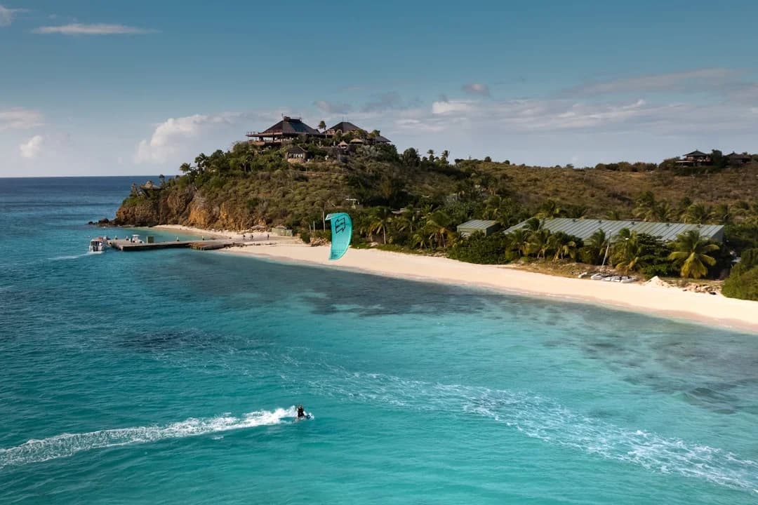
Sailing BVI Itinerary: 7-Day Plan, Anchorages & Tips
Plan the perfect sailing BVI itinerary with a 7-day route, best anchorages, and practical tips. Read now and start your charter planning!
By Breezada Team

Canal du Midi Boat Trip: Practical Guide to the Med
Plan a canal du midi boat trip to the Med with routes, locks, timing & tips. Read the practical guide and start planning your cruise today!
By Breezada Team
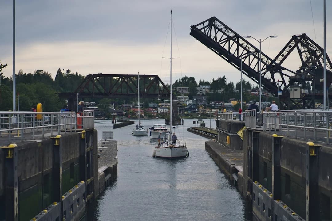
Sailing Through a Lock: Lines, Fenders & Crew Guide
Learn sailing through a lock with the right lines, fenders, fees, and crew roles. Get prepared and transit smoothly—read the guide now.
By Breezada Team
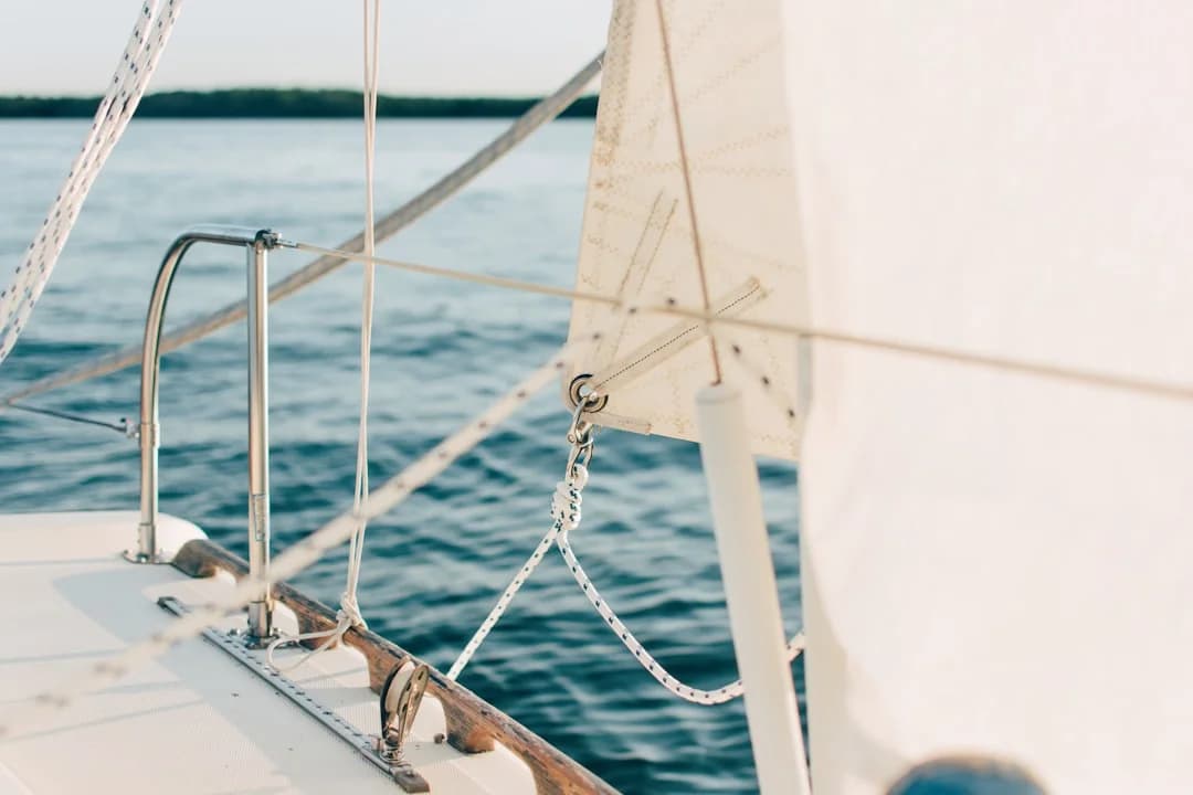
Sailboat Rigging Inspection Checklist & Replace Guide
Use this sailboat rigging inspection checklist to spot wear fast. Follow our replace guide—read now and keep your rig safe before you sail.
By Breezada Team