Best Sailing in Greece: Cyclades vs Ionian vs Dodecanese

Best Sailing in Greece: Cyclades vs Ionian vs Dodecanese
Picking a Greek cruising ground is less about postcard photos and more about what your crew can handle at 1400 when the breeze is up, the quay is full, and the nearest “easy bailout” is 18 NM to windward. After 20-odd years of running charters and deliveries in Greek waters, I boil sailing in Greece down to three operational variables: wind/sea state, exposure and distance, and infrastructure density (quays, marinas, fuel, chandlery, and repair options).
You can have a brilliant week in any of the three—if you plan to the region’s reality instead of your wish list. Use plan your route using a sea distance calculator early, before you fall in love with an itinerary that only works at 8 knots in flat water. 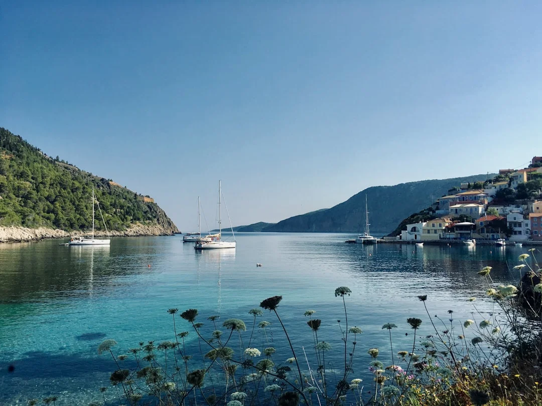
Photo by Mac McDade on Unsplash
Cyclades vs Ionian vs Dodecanese: decision matrix
Match crew experience to wind and sea state
The Ionian is the place I send crews who want a schedule-reliable week with minimal drama. Summer breezes are often 10–18 kn in the afternoon, with calmer mornings that make departures and docking less sporty. Seas are generally shorter and more forgiving, because land is usually close by and fetch is limited.
The Cyclades are different animals: the Meltemi (Etesian) isn’t just “a bit windy,” it’s a Force 4–6 pattern with periodic Force 7–8 (34–40+ kn) episodes in July–August. What makes it feel worse is the short, steep Aegean sea and acceleration between islands, where “20 knots forecast” turns into 28 in the gaps. If your crew’s reefing routine is theoretical, the Cyclades will provide a practical exam.
The Dodecanese sit in the middle ground. Planning for 15–25 kn is normal, and you’ll meet acceleration zones off capes and between islands, but you can often work the lee for comfort. The catch is distance and commitment: legs can be longer, and you won’t always have an “instant” harbor option when someone decides they hate sailing.
How distances and exposure shape itinerary risk
Most charter monohulls average 5–7 kn once you include sail changes, traffic, and the reality that head seas reduce speed. That makes 25–45 NM a comfortable target in a 5–7 hour daylight window, but only when conditions cooperate. In the Cyclades, I often “risk-adjust” to 15–30 NM because a Force 6 day can turn 25 NM into an all-day bash.
Exposure matters more than raw mileage. An Ionian hop of 25 NM may have several easy stop options; a Cyclades leg of 25 NM can be a straight shot across rough water with limited shelter on arrival. Use calculate the distance between ports to sanity-check your daily legs and then ask, “If we abandon this leg at hour two, where do we go?”
Cost and logistics snapshot by base
Your base dictates your first and last day stress level. Athens-area marinas (Alimos/Kalamaki, Lavrio) are busy but logistically easy; Lefkas and Corfu are well-oiled charter factories; Kos and Rhodes are straightforward but feel more “edge of map,” which I mean as a compliment and a warning. Expect town quays €10–€25/night for a 10–14 m mono, while marinas often run €30–€80+/night depending on LOA and season.
Here’s the high-level matrix I’d want in my cockpit notebook:
| Region | Best for | Typical summer wind | Sea state / exposure | Day-leg range (NM) | Base options | Mooring style | Budget feel |
|---|---|---|---|---|---|---|---|
| Ionian | Families, first-time bareboat, relaxed swim stops | 10–18 kn thermal afternoons | Protected waters, short fetch | 15–35 | Lefkas, Corfu | Town quays, some marinas, lots of anchoring | Often fewer “forced” marina nights |
| Cyclades (Aegean) | Performance sailing, iconic islands, crews comfortable reefing | Bft 4–6, episodes Bft 7–8 (34–40+ kn) Jul–Aug | Steep seas, acceleration in gaps, more exposed approaches | 15–30 (risk-adjusted) | Athens/Alimos, Lavrio | Stern-to with lazy lines/anchor common | Can spend more on marinas when wind pins you |
| Dodecanese | Aegean flavor with route variety, history-heavy ports | 15–25 kn + bursts in gaps/capes | Mixed lee sailing and open legs; fewer instant bailouts | 20–45 | Rhodes, Kos | Town quays, some marinas, anchorages | Similar to Cyclades; fuel can rise with longer legs |
Cyclades (Aegean): Meltemi routes and contingencies
Meltemi reality: timing, sea state, and thresholds
Cyclades sailing is magnificent when you respect the clock. The Meltemi often builds through late morning and peaks mid-afternoon, which is why the “leave at noon” plan so often turns into a slamming contest. When it’s Force 6 (22–27 kn) over short Aegean chop, your boat’s average speed can drop below 5 kn, and the crew’s mood drops faster.
When forecasts show Force 7–8 (34–40+ kn) in the exposed passages, treat it as an itinerary constraint, not a challenge. Reef early, keep options open, and don’t be seduced by a downwind start that becomes an upwind return. The Cyclades punish round trips; plan loops or accept that a “must-see” island may become a “next year” island.
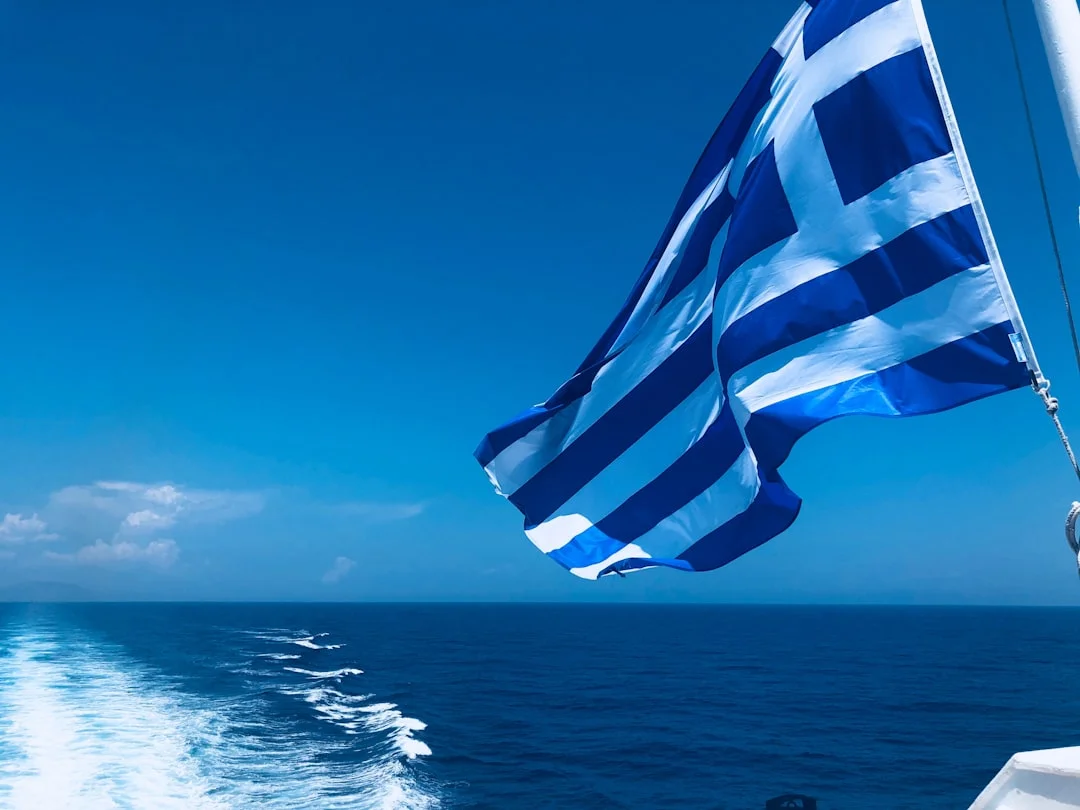
Photo by Lisa Boonaerts on Unsplash
7-day Cyclades sailing itinerary from Lavrio/Alimos
This is a realistic week that works at 5–7 kn without pretending every day is perfect. Distances are approximate; run your exact legs through Breezada’s sea distance calculator before committing.
Standard 7-day (moderate Meltemi):
- Day 1: Lavrio → Kythnos, ~25–30 NM (4–6 hours + 45 minutes for mooring and settling).
- Day 2: Kythnos → Serifos, ~15–20 NM (3–4 hours; plenty of swim time).
- Day 3: Serifos → Sifnos, ~12–18 NM (short day, good for provisioning and laundry).
- Day 4: Sifnos → Paros (or Antiparos), ~25–35 NM (leave early; afternoon gusts in approaches).
- Day 5: Paros → Naxos, ~10–15 NM (easy reposition; explore inland).
- Day 6: Naxos → Syros, ~25–35 NM (solid sailing; better shelter options).
- Day 7: Syros → Lavrio/Alimos, ~35–45 NM (early start, keep a buffer for check-out).
That famous Naxos → Santorini ~40–45 NM leg is doable on paper, but it’s a commitment with fewer comfortable outs when the sea state is up. In a one-week charter, it often turns into a “we did it, but we didn’t enjoy it” day.
Heavy-wind alternative: lee-hopping and bailout ports
When the Meltemi is honking, you win by staying in the lee and shortening exposure. Swap longer open legs for 15–25 NM hops, and choose harbors with straightforward entries and room for error. I also build in a deliberate layday, because a forced march in 34–40+ kn doesn’t make you salty; it makes you tired and sloppy.
Good “reset” choices are places with better facilities and shelter, where you can spend a marina night, do water and power, and let the crew’s nervous system return. Your plan B should be specific: “If average speed drops below 5 kn by hour one, we turn to X harbor,” not “we’ll see how it goes.”
Anchoring and stern-to tactics in deeper Aegean bays
Expect anchoring depths of 5–15 m close to shore in many Cyclades coves. A scope of 4:1–6:1 is typical, but you must adjust for swing room and the night wind clocking. If there’s limited room and a wind shift is expected, stern-to in a harbor may actually be safer than free-swinging among neighbors who all believe their anchor is “well set.”
Stern-to in crosswind is where crews donate gelcoat. Practice roles before you enter: who handles lazy line, who controls stern lines, who fends off (lightly), and who is not allowed to jump ashore like a superhero. Arrive with daylight, because picking up lazy lines at 2200 is a great way to discover how creative your vocabulary is.
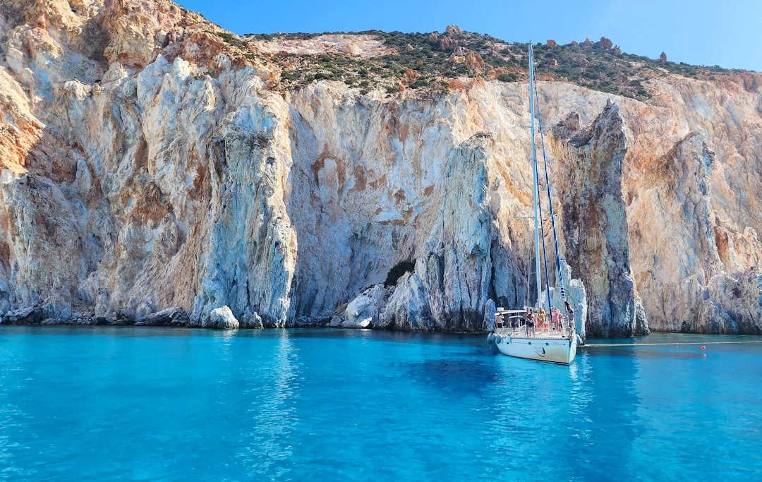
Photo by Derek Nielsen on Unsplash
Practical tip: In the Cyclades, plan to be anchored or tied up by 1500 on windy days. The sea state often worsens after lunch, and the best quay spots don’t wait for late arrivals.
Ionian Sea: protected routes and family-friendly sailing
Wind pattern and daily rhythm (why it’s forgiving)
The Ionian’s reputation for easy cruising is earned. Many summer days start quiet, then a thermal breeze fills in to 10–18 kn by early afternoon, often easing again toward evening. That rhythm gives you calm windows for departures, stress-free arrivals, and a pleasant sail in between.
It’s also kinder to boats and bodies. Less slamming means fewer “mystery” locker explosions and less crew fatigue, which matters on a one-week charter where sleep and morale are your real limiting factors. You’ll still get gusty harbor cross-breezes, but it’s usually manageable rather than character-building.
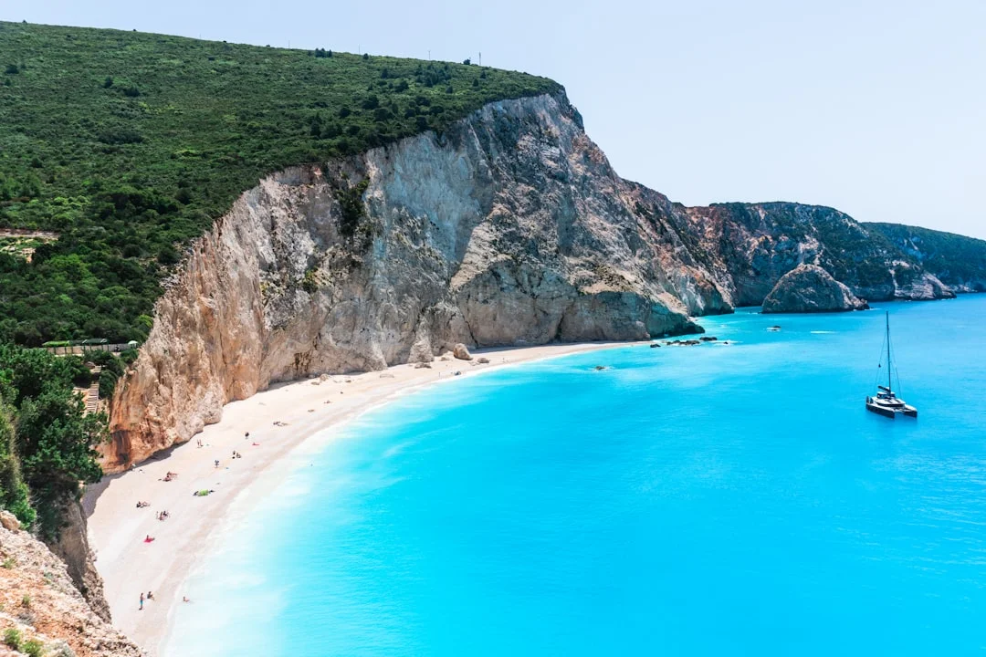
Photo by Johnny Africa on Unsplash
7-day Ionian Sea sailing plan from Lefkas or Corfu
From Lefkas, a classic week keeps legs short and flexible:
- Lefkas → Meganisi (~10–15 NM)
- Meganisi → Ithaca (~15–25 NM)
- Ithaca → Kefalonia (~12–20 NM)
- Kefalonia → Zakynthos (~20–30 NM)
- Zakynthos → Kefalonia (~20–30 NM) or a northbound alternative
- Kefalonia → Lefkas area (~25–35 NM)
- Buffer day for weather, repairs, or “we found a beach and stopped thinking”
From Corfu (Gouvia), you can run Paxos/Antipaxos with similarly forgiving hops, and you’re rarely far from shelter. At 5–7 kn, many days can be 15–30 NM, leaving time for swim stops that don’t feel like a stolen luxury.
Mooring density: quays, anchorages, and service access
The Ionian is “charter practical” because it has lots of second choices. If the main quay is full, there’s often another bay within 3–8 NM, and you’re not crossing a nasty channel to get there. Town quay pricing is commonly €10–€25/night for a 10–14 m monohull, with power and water sometimes extra or metered.
Provisioning is also easier because you pass towns frequently. That means you can carry less water, although drinking water still matters: plan 3–5 L per person per day just for drinking, and total consumption can climb fast if everyone showers like they’re at home. If your tanks are 300–600 L on a 40–45 footer, that capacity disappears quicker than you expect in August heat.
Dodecanese: longer legs, lee effects, and best routes
Wind and sea-state: northerlies plus acceleration zones
The Dodecanese deliver Aegean character without demanding central Cyclades exposure every day. Expect northerlies in the 15–25 kn range as a working assumption, with sharper bursts near capes and in the island gaps. The trick is that you can find excellent lee water behind islands, then get punched in the face for 20 minutes as you round a headland.
That variability rewards conservative sail handling. If you reef when it’s convenient rather than when it’s necessary, you’ll enjoy the sailing instead of enduring it. It’s also a region where crews get surprised by “flat calm” turning into “why is the boom trying to kill me” in one squall-like gust line.
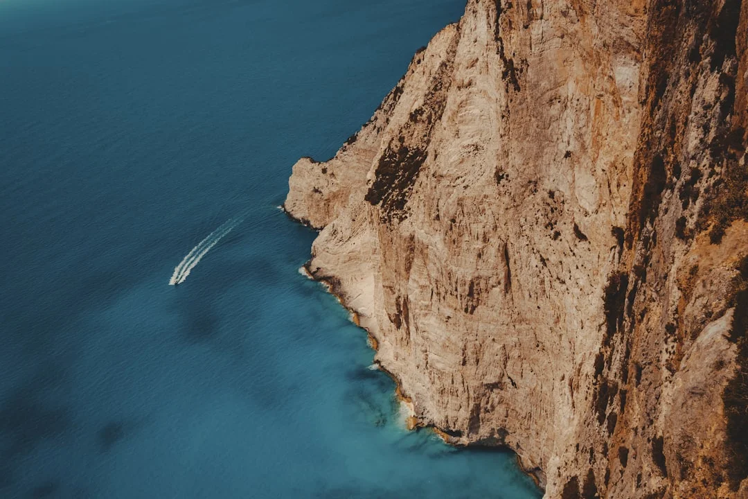
Photo by Michael Pointner on Unsplash
7-day Rhodes or Kos sailing route with alternatives
From Rhodes, a history-and-harbors week might look like:
- Rhodes → Symi (~20–25 NM)
- Symi → Chalki (~12–18 NM)
- Chalki → Tilos (~20–30 NM)
- Tilos → Nisyros (~25–35 NM)
- Nisyros → Kos area (~20–30 NM) depending on plan and permits
- Kos area → return leg(s) with a shorter stop
- Buffer day to avoid a long final bash
From Kos, you can keep it more compact, mixing 20–30 NM days with one longer 35–45 NM leg if conditions are friendly. The Dodecanese are excellent for crews who can manage longer passages but still want frequent ports with tavernas, fuel, and a quay you can actually fit on.
Open-water readiness: comms, timing, and plan B ports
Because legs can be longer and shelter less immediate, I’m stricter here on basics. Confirm VHF/DSC works at check-in, and make sure the GPS position is correctly feeding it; a distress button that sends no coordinates is just an expensive decoration. Manage batteries too—longer legs plus autopilot use can mean you’re running the engine more than planned to keep charge stable.
Keep arrivals daylight-only unless you know the port well. Many Greek harbors are straightforward, but night entries with ferries, fishing boats, and poor quay lighting are rarely worth it on charter. Your plan B should include named harbors within 10–20 NM along the track, not just “we’ll turn back.”
Route planning in Greece: NM math, ferries, and timing
Sea-distance calculation: speed, daylight, and wave angle
Charter crews love to plan like they’re always doing 7 kn. In reality, 5–7 kn is the honest average, and that’s before you account for head seas, reefing, and the 30 minutes spent “just sorting lines.” A comfortable target is 25–45 NM in a 5–7 hour daylight day, but in steep Aegean chop I downrate further, especially upwind.
Work the math before breakfast, not while entering a harbor at dusk. Breezada’s sea distance calculator is ideal for turning an island wish-list into real miles, then into ETAs that include a docking buffer. Add 30–60 minutes for stern-to mooring, lazy line pickup, and the inevitable “where’s the shore power adapter?”
Worked examples (real hops, real time)
Use these to calibrate expectations:
- Lavrio → Kythnos: ~25–30 NM
At 5 kn, that’s 5–6 hours underway; at 7 kn, 3.5–4.5 hours, plus at least 45 minutes to secure. - Mykonos → Naxos: ~20–25 NM
At 5 kn, 4–5 hours; at 7 kn, 3–3.5 hours, still leaving time for a swim stop if you don’t depart at lunchtime. - Naxos → Santorini: ~40–45 NM
At 5 kn, 8–9 hours—that’s a long day even before docking. At 7 kn, 5.5–6.5 hours, but only if the sea state lets you maintain speed.
Wave angle matters as much as wind speed. A Force 6 on the beam can be brisk and fun; the same wind and sea on the bow can turn a 25 NM hop into a morale test. If your plan only works when everything is comfortable, it’s not a plan.
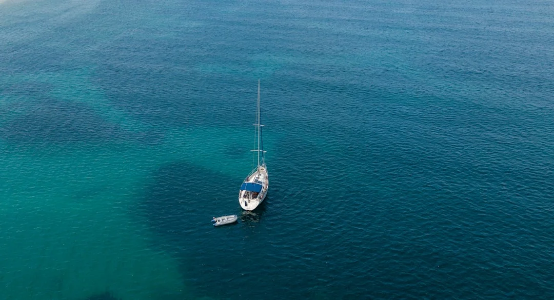
Photo by manos koutras on Unsplash
Ferry lanes, port approaches, and COLREGS realities
Greek ferry traffic is fast, frequent, and not interested in your charter timetable. Near port approaches, you’ll see high-speed craft that close quickly, and crossing situations develop fast enough that crew arguments become the real hazard. Stick to practical COLREGS thinking: maintain a proper lookout, make early course changes, and don’t “assert rights” with fiberglass.
I also avoid night entries on charter unless the crew is genuinely competent and the port is familiar. Lazy lines, unlit mooring hardware, and fishing gear are a bad combo with fatigue. If you’re behind schedule, shorten the leg and stop early; the islands aren’t going anywhere.
Risk-adjusted routing: when to shorten, when to stop
Here’s a repeatable decision rule I use. If average speed is below 5 kn after the first hour due to sea state, or the crew is already tired, shorten the day immediately rather than “pushing through.” You can always add miles tomorrow; you can’t easily undo a bad docking in a gusty harbor.
If you need a reset, take a marina night and pay the €30–€80+. Shore power (often 230V/16A, sometimes 32A) and reliable water can solve problems before they become expensive. The cheapest week is usually the one that doesn’t break things.
Costs and mooring fees: all-in weekly charter budgets
Bareboat pricing bands by yacht type and season
Greek charter pricing is seasonal, and July–August is where budgets go to get humbled. Typical bareboat weekly ranges (2024–2026 market) look like this: 34–37 ft monohull €2,200–€4,500, 40–45 ft monohull €3,200–€7,000, and 45–50 ft catamaran €6,000–€12,000+. Newer boats, prime weeks, and one-way legs push you to the high end quickly.
Region influences your spend indirectly. In windier areas you may choose more marina nights for safety; in light-air weeks you may motor more, especially if you’re trying to keep a “restaurant reservation itinerary.” The Ionian often lets you anchor more, which can reduce berthing costs, though not always—popular quays still fill up.
Line items that move the total (crew, extras, deposits)
The headline price is only the beginning. Typical add-ons include end cleaning €150–€300, outboard €80–€150/week, Wi‑Fi €40–€80/week, and SUP €100–€200/week. You’ll also see a refundable deposit commonly €2,000–€6,000, or a damage waiver around €250–€500 depending on operator and boat.
Hiring a skipper changes both cost and stress. Budget €180–€250/day + food for a skipper, and €150–€220/day + food for a hostess/cook, often charged for 7 days on a week charter. If your crew’s stern-to skills are shaky, a skipper can be cheaper than a deductible, even if your pride disagrees.
Fuel, berthing, water, and shore power realities
Fuel planning is usually straightforward if you’re honest. Many operators assume 3–5 L/h for a 35–45 ft monohull at cruising RPM, and a 6–10 hour motoring week often lands around 20–50 L—call it €150–€400/week typical, higher if you motor hard in calms or bash into seas. Cats vary; twin engines can make “just motoring a bit” add up quickly.
Berthing is often €10–€25/night on town quays for a 10–14 m monohull, while marinas commonly run €30–€80+/night. Water isn’t infinite either: drinking alone is 3–5 L per person/day, and total daily use onboard can easily exceed 20–60 L/day for four people when you include dishes and hygiene. If you don’t have a watermaker, you’ll appreciate a marina tap more than another sunset photo.
Here’s an all-in planning table for 6 guests, excluding flights and provisioning (because provisioning can be anything from “pasta and tomatoes” to “we bought half the supermarket”):
| Cost line (7 days) | 37 ft monohull (bareboat) | 45 ft monohull (bareboat) | 46–50 ft catamaran (bareboat) |
|---|---|---|---|
| Charter fee (season-dependent) | €2,200–€4,500 | €3,200–€7,000 | €6,000–€12,000+ |
| Skipper (optional) | €1,260–€1,750 | €1,260–€1,750 | €1,260–€1,750 |
| Berths (mix quays/marinas) | €120–€350 | €150–€450 | €200–€600 |
| Fuel (typical week) | €150–€350 | €200–€400 | €250–€600 |
| Common extras (cleaning + Wi‑Fi + outboard/SUP) | €270–€650 | €270–€650 | €270–€750 |
| All-in estimate (no skipper) | €2,740–€5,850 | €3,820–€8,500 | €6,720–€13,950+ |
| All-in estimate (with skipper) | €4,000–€7,600 | €5,100–€10,250 | €7,980–€15,700+ |
| Per person (6 guests, no skipper) | €460–€975 | €635–€1,420 | €1,120–€2,325+ |
When to go: seasonality by region (wind, crowds, value)
Shoulder season strategy (May–Jun, Sep–Oct)
If you want value and flexibility, shoulder season is where Greece shines. Discounts of 10–30% versus peak are common in May and October, and you’ll feel it in availability too—better boat choice, less quay competition, and fewer “must reserve” nights. Water temperatures are usually improving through June and still pleasant in September, while October can be a mixed bag depending on year.
Operationally, shoulder season often means you can choose longer legs because you’re not fighting for mooring space at 1700. It also means you’re less likely to feel forced into bad-weather decisions just to hit a schedule. If you’re building experience, that breathing room is worth more than a slightly warmer sea.
Peak summer tradeoffs (Jul–Aug) by region
July and August are busy everywhere, but the tradeoffs differ. In the Cyclades, this is prime Meltemi season, with the common Force 4–6 pattern and periodic Force 7–8 (34–40+ kn) events. That’s great if you came for fast sailing and you’re happy reefed most days, but it reduces itinerary flexibility and can add marina nights when anchorages are uncomfortable.
In the Ionian, peak summer is more about crowds than wind. The 10–18 kn thermal afternoons still show up often, and mornings are calmer, but popular bays and quays fill early. The Dodecanese can be a sweet spot in peak—still windy enough for proper sailing, often less congested than central Cyclades hot spots, but you need to respect the longer legs.
Water, heat, and itinerary flexibility planning
Heat changes behavior onboard. When it’s hot, crews drink more, shower more, and become less tolerant of long bashes into head seas, which makes the “40 NM plan” less realistic. Your water and battery management becomes part of route planning, not a housekeeping detail—especially if your tankage is 300–600 L on a monohull and you’re avoiding marinas.
Booking timing matters too. For prime July/August weeks, good boats often go 6–9 months out, especially newer cats and popular bases like Lefkas and Alimos. One-way charters exist, but they’re more feasible in shoulder seasons when operators can reposition boats without ruining the next week’s schedule.
Seamanship and safety checks: ISO/ABYC best practice afloat
Check-in inspection priorities for Aegean passages
I don’t care how shiny the cushions are; I care whether the boat can take a bumpy day without turning into a maintenance project. Use ISO 12217 design category as context—many charter boats are Category A or B—but remember that steep Aegean seas punish poor preparation regardless of paperwork. At handover, check ground tackle first: anchor size (often 15–25 kg on a 35–45 ft mono), chain (8–10 mm), and rode length (50–80 m) actually marked and usable.
Then verify engine cooling (raw-water flow), steering, bilge pumps, and reefing systems. A jammed reef line is merely annoying in the Ionian; in the Cyclades it becomes an expensive lesson. If the windlass is 700–1,200 W and the breaker trips under load, you want to find out while tied safely, not while drifting toward someone’s bow.
MOB prevention and reboarding in windy regions
Strong-wind regions deserve stronger habits. ISO 15085 is about preventing man-overboard situations and planning recovery; the practical version is simple: brief the crew, establish cockpit rules, and use jacklines/tethers when conditions warrant. The best MOB recovery is the one you don’t have to perform.
Reboarding matters too, and this is where ABYC H-41 thinking is useful even outside the U.S. standards world. Before you leave the dock, verify the swim ladder deploys easily and supports weight, because “we’ll figure it out later” becomes ugly if someone is tired, cold, or injured. Do one test reboarding with the strongest crew member; it’s a 2-minute check that can prevent a serious incident.
Stern-to, lazy lines, and anchoring discipline
Greek mooring is often stern-to with lazy lines or anchor, and it rewards calm choreography. Keep hands and feet out of the pinch points, and don’t wrap lines around your body when a gust hits. Arrive with daylight, assign jobs clearly, and don’t be shy about aborting and re-approaching if the setup isn’t clean.
For anchoring, 4:1–6:1 scope is typical, and in 5–15 m depths you’ll use more chain than first-timers expect. If wind is expected to clock overnight, limited swing room should push you toward a controlled stern-to option or a better bay, not wishful thinking. Also check seacocks and hoses at handover—ABYC H-27 is a good reference point for what “properly secure” looks like, especially before longer Dodecanese legs.
Finally, treat ferries with respect and follow the spirit of the COLREGS: predictable movements, early decisions, and no hero maneuvers near port approaches. The sea is generous, but it does not reward improvisation at dusk.
Practical tip: Document functional checks at handover (windlass load, VHF/DSC call, engine cooling flow, bilge pump operation). It’s boring paperwork until it saves your deposit.
Frequently Asked Questions
For a 40–45 ft monohull averaging 5–7 kn, what is a realistic maximum NM leg in the Cyclades under Meltemi Force 6, and how much ETA buffer should be added for stern-to mooring with lazy lines?
Under Meltemi Force 6 (22–27 kn) with steep chop, a realistic “don’t-hate-your-life” maximum is usually 20–30 NM in the Cyclades, because average speed often falls toward 5 kn when it’s on the nose. Add 30–60 minutes of buffer for stern-to setup, lazy line pickup, and a second approach when the crosswind tries to rearrange your plan.
In July–August Cyclades conditions, how should reefing plan and sail selection change when forecasts show Meltemi Force 7–8 (34–40+ kn) in gap passages, and which headings typically become the ‘high-slamming’ angles?
With Force 7–8 (34–40+ kn) forecast in the gaps, plan to sail under a deeply reefed main early and treat headsail area as optional rather than mandatory. The high-slamming angles are typically close-hauled to close-reach into the sea, where the short Aegean wave period stops you dead and the bow starts hammering; that’s when you shorten legs, use lee routes, or wait it out.
What anchor scope (4:1–6:1) is appropriate in 10–15 m Aegean depths when wind is expected to clock overnight, and how does limited swing room affect the decision to go stern-to vs free-swing anchoring?
In 10–15 m you’re typically looking at 4:1–6:1 depending on holding and room, which can mean 40–90 m of rode once you add bow height and safety margin. If wind is likely to clock and swing room is tight, free-swing anchoring becomes risky in crowded bays, so a controlled stern-to (with lazy line or anchor-back) or a roomier bay is often the safer call.
How do diesel burn assumptions (3–5 L/h at cruising RPM) translate into weekly fuel volume for 6–10 hours of motoring, and how does that change if you must motor-sail to maintain schedule in light Ionian mornings?
At 3–5 L/h, 6–10 hours of motoring is roughly 18–50 L for the week, which is why many crews land in the 20–50 L planning range. In the Ionian, calm mornings often tempt crews to motor-sail longer to reach an anchorage early, so total hours can creep upward; if you jump from 6 to 12 hours, your fuel planning roughly doubles.
Which charter check-in items most directly reduce risk of failures on longer Dodecanese legs (steering, ground tackle, seacocks per ABYC H-27, VHF/DSC), and what quick functional tests should be documented before departure?
Prioritize steering feel (full-range movement and autopilot engagement), ground tackle (windlass under load, chain marks, working snubber), seacocks/hoses/clamps consistent with ABYC H-27, and a confirmed VHF/DSC position-enabled test call. Document quick tests: engine cooling water flow at idle and 2000 RPM, bilge pump operation, windlass lift without breaker trip, and a DSC self-test showing correct MMSI/GPS data.
If you want the shortest path to a good decision, use the matrix above, then build a risk-adjusted 7-day plan with NM/time math at 5–7 kn, daylight arrivals, and at least one named Plan B each day. Run the distances through check the nautical miles for your planned route, price your week with the budget table, and you’ll charter like someone who intends to return with friendships intact and gelcoat unscarred.
About the Author
Related Articles

Greek islands sailing itinerary 7 days from Athens
Plan a Greek islands sailing itinerary 7 days from Athens. Follow this 7-day route, stops, and tips—read now and start planning your trip.
By Breezada Team

Croatia Sailing Itinerary: 7 & 10 Days Split–Dubrovnik
Plan the perfect Croatia sailing itinerary with 7- and 10-day routes from Split to Dubrovnik. Get the day-by-day plan—start now!
By Breezada Team

Sailing Greek Islands: Routes & Anchorages Guide
Plan your sailing Greek Islands trip with routes, itineraries & anchorages. Get practical tips and start charting your ideal passage today.
By Breezada Team

When to Reef: Safe Systems for Simple Cruising
Learn when to reef with safe, simple systems for cruising. Reduce heel, stay in control, and sail smarter—read the guide and reef with confidence.
By Breezada Team