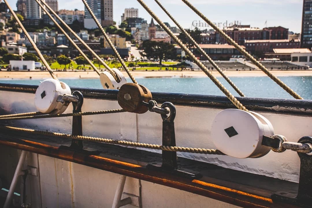
San Francisco Bay Sailing: Winds, Tides, Hazards
San Francisco Bay sailing rewards preparation and punishes optimism. On a “normal” summer afternoon you’ll see 15–25 kt across the Central Bay, with the Slot routinely flexing into 25–35 kt when the inland heat engine really starts pulling. Add 4–6+ kt currents at the Golden Gate, 52–58 °F water, and fog that can go from “pretty” to “where’d the bridge go?” in one tack, and you’ve got a place that deserves respect.
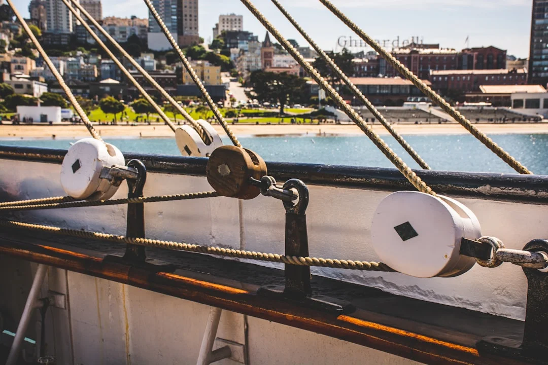
Photo by Samuel Ramos on Unsplash
Below is how locals turn forecasts into sail plans: a reef plan tied to the Bay’s microclimates, tide/current timing that actually matches your ETA, and hotspot-specific tactics for Crissy, the Slot, and Raccoon Strait. Use Breezada’s sea distance calculator when you sketch legs; the Bay’s currents make “it’s only a few miles” a classic lie.
Wind Patterns & Microclimates in the Central Bay
Seasonality: summer sea-breeze engine vs winter fronts
Summer is the Bay’s main event because the pattern repeats: morning marine layer, inland heating, then an afternoon westerly that ramps fast. In the Central Bay, 15–25 kt is a common summer-afternoon working range, especially from mid-day into late afternoon. The “clock” often looks like lighter late morning, building early afternoon, peaking mid/late afternoon, then easing near sunset—until a heat event shifts the whole thing earlier and stronger.
Winter is different and less polite. Frontal systems bring wind that can swing direction quickly, with squalls and lulls that don’t match a tidy diurnal cycle. If summer is predictable violence, winter is unpredictably honest; plan more conservatively, especially with a short-handed crew.
The Slot as a Venturi: why it routinely overperforms
“The Slot” is the high-wind corridor from the Golden Gate toward the Alcatraz/Angel Island alignment. It behaves like a Venturi: air accelerates through the Gate and between headlands and islands, so the Slot often outperforms the broader Central Bay. On strong days, while much of the Central Bay sits at 15–25 kt, the Slot can sit in 25–35 kt with gust lines that look like they were drawn with a ruler.
The practical implication is simple: don’t rig for the average; rig for the worst 20 minutes in the Slot. For many cruising sail plans, a first reef is a smart default when sustained wind hits about 15–18 kt, and it’s not a character flaw to reef before you think you “need” it. The Bay is a better teacher than you are.
Wind shadows and acceleration zones: Crissy, Alcatraz, Angel
The islands and shoreline produce wind shadows, rotor, and sharp gradients that turn trim into boat-handling. The lee of Angel Island and Tiburon can offer temporary relief, but the exit from that relief can hit like someone opened a door. The Alcatraz corridor often feels punchier than it looks on a model, and Crissy Field funnels toward the bridge with gusts that arrive right when you’d prefer calm precision.
Plan sail handling like you’ll be busy at the worst time. On 20–30+ kt days, pick a smaller headsail (or furl early), keep the traveler working, and use the vang to control twist as the puffs slam down. Depower checklist: reef early, flatten the main (outhaul/backstay if you’ve got it), ease traveler before the helm loads up, and don’t wait for the round-up to tell you what you already knew.
Tip (locals’ rule): If the plan depends on “we’ll reef later,” you’re already late. Put the first reef in while the cockpit is still calm and the crew still likes you.
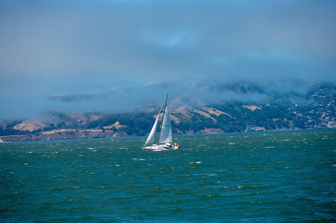
Photo by Aaron Meier on Unsplash
Tides & Currents: Planning, ETAs, and Sea-State Traps
Reading tide/current predictions for the Gate, Slot, and straits
San Francisco Bay’s tidal range is commonly ~4–7 ft, bigger on springs, and those vertical feet translate into horizontal water movement through constrictions. The Golden Gate and Raccoon Strait amplify flow because they’re choke points, so you can have manageable current in one area and a moving walkway in another. Peak surface currents near the Golden Gate can exceed ~4–6 kt on strong ebb or flood, with localized accelerations near headlands and bridge approaches.
Predictions are a starting point, not a guarantee. Wind, barometric pressure, and freshwater outflow can shift what you actually feel on the surface, and eddies can reverse direction close to shore. Use the prediction to set a conservative plan, then confirm on the water with SOG trends, buoy behavior, and the look of the surface.
Ebb vs flood decision-making: where you’ll be boosted or punished
Treat current like free engine hours when it’s fair, and like towing a bucket when it’s foul. The key is separating speed-through-water (STW) from speed-over-ground (SOG), then planning your ETA on SOG. Worked example: if your boat does 6 kt STW and you punch into 4 kt adverse current, your SOG can drop to ~2 kt; with 4 kt favorable current, your SOG can jump to ~10 kt—real numbers that change whether you’re home for dinner.
Visitors often get burned by overcommitting toward the Gate late in an ebb. They enjoy the ride west, then discover the return is into current plus building afternoon wind and chop. When you build your route, decide which leg you want helped, and remember that “helped out” usually becomes “punished back.”
Wind-against-current: overfalls, standing waves, and no-go cues
Wind against a strong ebb at the Golden Gate is where the Bay stops being charming. When you’ve got ≥20 kt wind opposing a strong ebb, short, steep seas and standing waves can build quickly, especially near uneven bottom and headland edges. It’s not just uncomfortable; it becomes a control problem, particularly for smaller craft and under-canvassed boats that can’t maintain steerage.
No-go cues are visible if you look up from the instruments. Overfalls show up as rough “boiling” patches, wave trains stack tightly with minimal period, and you’ll see lines of broken water that don’t match the surrounding chop. If the bow is slamming hard enough that crew can’t move safely, you’re already spending safety margin you didn’t budget.
Route planning is where tools help, but only if you use them honestly. Sketch your loop legs in nautical miles and run them through Breezada’s sea distance calculator, then apply SOG ranges like 3–10 kt depending on current phase. It’s a quick way to catch the classic Bay error: a “short” 6 nm leg that turns into a 3-hour grind when the current flips.
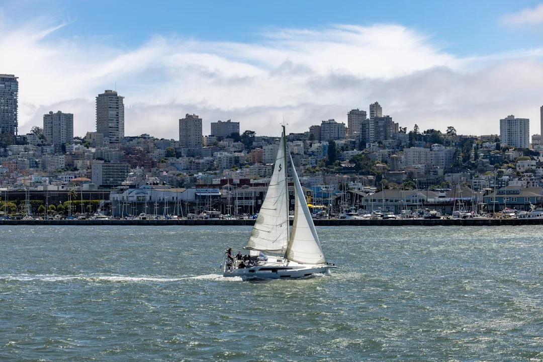
Photo by Royce Fonseca on Unsplash
Best Day Sails (3–6 Hours): Proven Loops with Tide Timing
Pick your loop by tide phase and skill level
The best SF Bay day sails are repeatable loops with built-in options, not heroic point-to-point plans. Most Central Bay loops land in the ~3–6 hour window depending on wind, current, and how often you stop to take photos of the bridge like a proud tourist. Choose routes that match the day’s tide phase: ebb can sling you west fast, while flood often makes returning toward Sausalito or Alameda less of a punishment.
Skill matching matters because the Bay compounds problems. A route that’s fine at 12–18 kt becomes work at 25+ kt, and fatigue shows up earlier in cold wind and spray. Tag your plan honestly: novice-friendly water, intermediate exposure, or advanced heavy-air and traffic management.
Bailouts: where you can turn early without drama
A good loop has “off-ramps.” That means you can bear away to stable water, motor-sail to a marina, or simply change the goal without losing face. If the crew is cooked or the wind spikes into the high 20s, you want a bailout that doesn’t require threading between a lee shore and commercial traffic.
“Bailout” also means knowing where you can heave-to safely, with sea room and visibility. Practice heaving-to on a moderate day; it’s hard to learn when you’re already overpowered and the boat is auditioning for a rounding-up contest.
What “good enough” conditions look like for visitors
For visitors, “good enough” is usually: steady visibility above 1 NM, winds that you can handle with at least one reef (15–25 kt is common), and a current plan that doesn’t require perfect timing. If you’re trying to thread the Gate near max ebb with 20+ kt westerly, you’re not day sailing—you’re conducting an experiment. The Bay tends to publish the results immediately.
Use a sea distance calculator to check nautical miles for each leg to turn your loop into legs and time them with realistic SOG. Plan legs at 3–6 kt SOG if you expect adverse current, and treat 8–10 kt SOG as a bonus when the current helps, not a promise.
| Route “recipe” | Distance (nm, approx) | Typical time (hrs) | Tide preference | Wind exposure | Bailout points |
|---|---|---|---|---|---|
| Richardson Bay warm-up (Sausalito front + return) | 4–7 | 2–4 | Any, best near slack | Low–Med | Sausalito/Marin marinas, anchor in Richardson Bay (conditions permitting) |
| Sausalito–Alcatraz reach–Sausalito | 8–12 | 3–5 | Flood helps return | Med | Turn at Alcatraz, duck behind Angel for relief, motor-sail home |
| Angel Island lap (outside or partial) | 10–14 | 4–6 | Favorable current in Raccoon | Med–High | Refuge Cove (conditions), Tiburon/Sausalito harbors |
| Treasure Island perimeter (Central Bay) | 7–11 | 3–5 | Any; watch Central Bay set | Med | Alameda/Oakland estuary entrances, return downwind if needed |
| Crissy approach (conservative Gate look, turn early) | 8–13 | 3–6 | Avoid late-ebb near Gate | High | Bear away back to Central Bay, retreat to leeward of Angel/Tiburon |
| Raccoon Strait transit (point-to-point feel, loop back) | 8–12 | 3–5 | Near slack or favorable | Med–High | Abort before committing to the throat; Tiburon/Sausalito as outs |
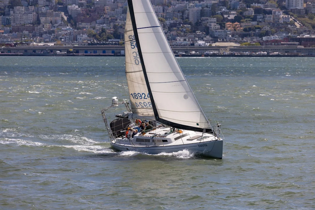
Photo by Royce Fonseca on Unsplash
Hotspot Hazard Guide #1: Crissy Field & Lee Shore Risk
Why Crissy is deceptively technical: set, drift, and funneling
Crissy Field looks friendly from a postcard, which is part of the problem. You’ve got a lee shore, a strong lateral set that can run several knots near bridge approaches, gusty funneling toward the Golden Gate, and short chop that steals speed right when you need control. Many local schools treat Crissy as an advanced operating area once winds exceed ~18–20+ kt, because mistakes migrate toward hard objects quickly.
The drift shows up during the moments when crews are most distracted: sail setup, sail douse, and “just a quick adjustment” near shore. Your plan should include a deliberate miss that keeps you in safe water if the approach isn’t perfect. Tight approaches are for air shows, not day sails.
Launch/landing tactics: angles, timing, and abort criteria
Rig and reef before you enter the problem zone. If you think you might want a reef, you want it now—because it’s hard to put one in while getting set toward the bridge. Keep the engine ready when appropriate, not because sailing is failing, but because ABYC fuel-system best practices (ABYC H-33 diesel / H-24 gasoline) and a reliable engine buy you options when current and gusts stack the deck.
Approach with extra lateral room and a clear “abort lane” that leads back to open water. If visibility drops below ~1 NM in fog, or if the gusts are pushing you into repeated loss of control symptoms (round-ups, flogging, crew pinned), call it and retreat. The Bay will still be there tomorrow, and it won’t care about your schedule.
Bailout options: where to go when it’s not working
If Crissy is getting sporty, your safest move is usually to bear away to the Central Bay with sea room, then reset somewhere calmer. The lee of Angel Island or the Tiburon side can offer a brief break, but don’t confuse relief with safety—exiting the shadow can bring you right back into 20–30 kt. If you need to motor-sail, do it early, before chop and set reduce your ability to hold course.
Cold water makes nearshore incidents less forgiving. Central Bay water commonly sits around 52–58 °F, and immersion becomes a serious problem faster than most fair-weather sailors like to admit. The best rescue is the one you never have to run because you kept sea room and avoided the lee shore in the first place.
Crissy checklist: Reef in advance, keep sea room, avoid getting trapped between bridge and shore, assign roles for quick douse, and keep an escape heading that leads to open water.
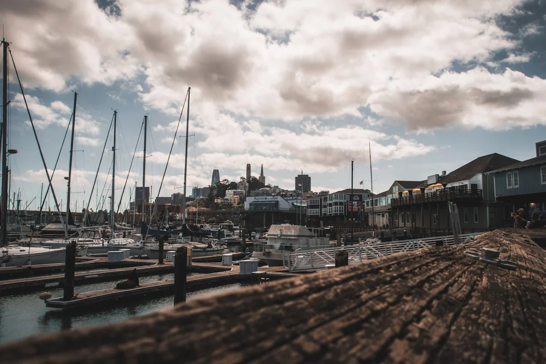
Photo by Jonathan Ikemura on Unsplash
Hotspot Hazard Guide #2: The Slot & Golden Gate Vicinity
Heavy-air mechanics: gust lines, acceleration, and squalls
Operationally, the Slot is the windy runway from the Golden Gate toward Alcatraz/Angel Island. On strong days it’s commonly 25–35 kt, even while the broader Central Bay sits closer to 15–25 kt. Gust lines form in darker streaks, and you can feel acceleration as you cross invisible boundaries between shadow and flow.
In 25+ kt, sail handling priorities shift from “trim for speed” to “trim for control.” Reef early, reduce headsail, and keep enough sail to maintain steerage without loading the helm into constant round-ups. A flogging headsail in the Slot is loud, slow, and surprisingly effective at eroding crew morale.
Wind-against-ebb at the Gate: overfalls and standing waves
The Golden Gate adds current and bottom effects to the wind machine. Peak surface currents can exceed ~4–6 kt, and when a strong ebb meets ≥20 kt westerly, the sea state can turn into steep, short-period chop with standing waves and overfalls. That combination punishes smaller boats and any crew trying to move forward safely; it also makes “just motor through it” a bad plan because the bow can slam hard enough to kill speed.
Don’t romanticize the bar and the edges. Even inside the Gate, uneven bottom and headland effects near Point Bonita and the Marin Headlands can create sharp transitions. This is where SF Bay can feel “offshore,” which is why it’s worth understanding stability context like ISO 12217 design categories; a CE Category C boat can still get worked if you treat the Slot like a lake.
Traffic and geometry: shipping lanes, bridges, and no-go areas
The Bay’s traffic isn’t theoretical. Commercial ships have limited maneuverability, and their “turning circle” is not your right-of-way lecture. Follow the USCG Navigation Rules (COLREGS/Inland), avoid loitering in the shipping lane, and make your course and speed predictable. If you need to cross, do it decisively at a near-right angle, with a plan that accounts for 2–6 kt of set.
Monitoring VTS helps you avoid surprises, but it’s not a permission slip to do something clever. Use AIS to identify targets and radar to confirm what AIS can’t show, because not everything transmits. If you’re visiting and tempted to push past a comfort line, pick a hard turn-back trigger—wind at 25+ kt, ebb building toward max, or visibility sliding toward <1 NM—and stick to it.
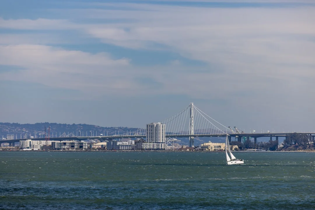
Photo by Royce Fonseca on Unsplash
Hotspot Hazard Guide #3: Raccoon Strait Current Shear & Eddies
How the throat flows: jets, back-eddies, and nearshore relief
Raccoon Strait, between Angel Island and Tiburon, is a classic constriction with swift tidal flow and messy edges. In the throat, planning language like “several knots” is realistic, and conservative sailors assume 3–5 kt current potential near constrictions. Along Angel Island’s shoreline you’ll often find back-eddies, shear lines, and patches that can spin a boat head-to-wind or stall progress under sail.
The trick is recognizing you’re not in one current, you’re in several adjacent ones. Your wake and SOG will tell the truth fast, and you’ll often see a sharp line where smooth water meets rippled flow. If your boat suddenly stops making ground in 18–22 kt, it’s rarely the sails’ fault; it’s usually the water moving the other way.
Timing transits: slack windows and favorable rides
Timing makes Raccoon feel like either a free ride or a gym session. Stage your transit near slack if you want an easy pass, or time it with favorable current if you want a fast one. Avoid committing late in an ebb when the wind is building, because fatigue plus adverse flow is where crews start making sloppy decisions.
If you’re planning a loop that includes Raccoon, calculate the leg distances and times, then add margin. Calculate the distance between ports and waypoints is handy here: a 2–3 nm transit is quick with a push, but it can drag when your SOG drops toward 2–3 kt against the flow. The Bay loves turning short legs into long lessons.
Angel Island shoreline tactics vs Tiburon side tactics
Under adverse current, you can sometimes reduce pain by working the edges, but only if you understand the trade. Nearshore relief can mean lighter wind, more traffic, and less room, and the eddies can knock your bow off at the worst time. On the Tiburon side, you may find different shear patterns, but the principle holds: pick a side deliberately, and don’t tack yourself into a corner.
If anchoring is your contingency near Angel Island, plan for current and swing, not just depth. For a 30–40 ft cruiser, 150–200 ft of rode is common, with 5:1 scope as a typical baseline and 7:1 in stronger wind/current if room permits. Scope is geometry, not opinion, and the Strait doesn’t care how pretty your anchor is.
Fog, Visibility & Commercial Traffic: VTS, AIS, COLREGS
Marine layer fog: when visibility collapses and why
SF Bay fog is usually marine layer behavior: cool ocean air slides in under warmer air, then gets pushed and pulled by the same pressure gradients that make the wind. It can go from clear to <1 NM visibility fast, sometimes to a few boat lengths, especially near the Gate and along the summer pattern. One tack you’re sightseeing; the next you’re counting seconds between foghorns and pretending you like it.
Treat fog as a navigation and collision-avoidance problem first, not a romance filter. If you’re near the shipping lane with visibility collapsing, your priorities are safe speed, proper lookout, and a plan that avoids putting your boat where commercial traffic expects clear water. The best time to decide your fog procedure is before you can’t see the bow.
Rules and communications: sound signals, safe speed, VHF practice
USCG Navigation Rules (COLREGS/Inland) are not optional reading here. In restricted visibility, proceed at a safe speed, maintain a proper lookout by sight and hearing, and use sound signals correctly. Your “safe speed” in <1 NM visibility is rarely the same speed you were doing in sunshine, especially when currents can run 4–6 kt near the Gate and alter closing speeds.
VTS exists to manage commercial traffic flow, not to babysit recreational boats, but monitoring helps situational awareness. In SF Bay, VTS is commonly on VHF Channel 14, and bridge-to-bridge practices apply where appropriate. Listen more than you talk; if you transmit, be brief, clear, and avoid stepping on working traffic communications.
Electronics that matter: AIS, radar, and power reliability
AIS is excellent for identifying ships, reading their COG/SOG, and understanding intent, but it’s not universal. Radar shows non-AIS targets, land, squall lines, and the ship that isn’t transmitting what you hoped it was. In fog, AIS plus radar is a strong combination, but only if you’ve practiced using both before you need them.
None of it matters if your power setup is sketchy. ABYC H-41 is the best-practice backbone: proper wiring, fusing, and dependable supply to critical electronics like VHF, GPS/chartplotter, AIS, and radar. A fixed DSC VHF (Class D) with MMSI and GPS input gives you one-button distress capability; a handheld VHF is backup, not the primary plan.
Operational routine: check nav lights, confirm VHF transmit/receive, verify GPS position source into DSC, and brief crew on lookout responsibilities. Assign one person to scan, one to manage comms if needed, and one to sail the boat—because when everyone does everything, nothing gets done well.
Safety, Gear & Compliance for SF Bay Day Sails
Legal carriage essentials (USCG) vs Bay-smart additions
USCG carriage requirements are the floor, not the goal. At minimum, carry one USCG-approved wearable PFD per person, and a throwable on vessels 16 ft+ (with certain exceptions). If your boat is ≥12 m (39.4 ft), day shapes apply for specific situations, and even if you’re smaller, you should understand what the shapes mean when you see them.
For SF Bay sailing hazards—cold water, heavy air, and traffic—Bay-smart additions include an AIS receiver or Class B transponder, a fixed DSC VHF, a capable chartplotter, and if you routinely sail in fog, radar. Also bring a real knife, a basic first-aid kit that can handle lacerations and hypothermia risk, and enough crew briefing to keep chaos from becoming your third mate.
Cold-water exposure protection: what locals actually use
Central Bay water sits around 52–58 °F much of the year. That means “I can swim” is not a plan, and cotton hoodies are just elaborate sponges. Many locals wear drysuits for high-exposure days (Crissy/Slot, shorthanded, or fog), while others use a 5–6 mm wetsuit setup with boots, gloves, and a hood when spray and capsize risk are lower.
Dress for the water, not the air. A sunny 65 °F afternoon with 25 kt wind can still deliver cold shock if someone goes over, and recovery on deck is harder when hands stop working. Your crew’s ability to reef quickly matters as much as the reef itself.
Charter/training/gear budgets: realistic planning numbers
Budgeting is part of seamanship because it determines what you actually bring aboard. Bay Area half-day bareboat charters for 30–40 ft boats often run $450–$900, with full-day $700–$1,400, and captained sails $800–$2,500 depending on boat and duration. Training packages like ASA 101/103/104 commonly land in the $900–$2,500 range.
Electronics and exposure gear are where visitors under-allocate. A fixed DSC VHF is often $180–$600, AIS hardware $200–$1,200, and radar installed $2,000–$6,000. A tide/current subscription might be $20–$120/yr, which is cheap compared to burning an extra hour motoring at 4–6 kt of adverse current.
| Item | Typical cost (USD) |
|---|---|
| Half-day bareboat charter (30–40 ft) | $450–$900 |
| Full-day bareboat charter (30–40 ft) | $700–$1,400 |
| Captained day sail charter | $800–$2,500 |
| ASA course package (101/103/104) | $900–$2,500 |
| USCG-approved inflatable PFD | $120–$350 |
| Sailing drysuit | $600–$1,400 |
| 5–6 mm wetsuit kit (boots/gloves/hood) | $200–$600 |
| Fixed DSC VHF (Class D) | $180–$600 |
| AIS receiver/transponder (Class B) | $200–$1,200 |
| Radar installed (18–24 in radome) | $2,000–$6,000 |
| Tide/current app subscription | $20–$120/yr |
Frequently Asked Questions
If my boat averages 6 kt through the water, how should I compute ETAs for a Gate-area leg when current is predicted 4–6 kt, and what safety margin (time/fuel) is prudent?
Compute ETA on speed-over-ground: SOG ≈ STW ± current, then add margin for leeway, maneuvers, and chop. With 6 kt STW and 4 kt adverse current, plan as low as ~2 kt SOG; with 6 kt favorable, you could see ~10–12 kt SOG, but don’t budget on the best case. For Gate-area legs, I like at least 30–60 minutes schedule margin plus enough fuel to motor for an extra 1–2 hours if sail handling, traffic, or sea state force a slower, safer plan.
In restricted visibility near the shipping lane, which COLREGS/Inland sound signals apply to a sailing vessel vs a power-driven vessel, and how does that affect your fog procedure on SF Bay?
Under the USCG Navigation Rules, in restricted visibility a power-driven vessel making way sounds one prolonged blast every 2 minutes, while a sailing vessel (and vessels restricted in ability to maneuver, etc.) sound one prolonged plus two short blasts every 2 minutes. My fog procedure is built around that: slow down to a genuinely safe speed, post an active lookout, start sound signals early, keep the boat on a predictable course, and avoid the shipping lane rather than trying to “thread it” while half-blind.
What VHF channels should I monitor near the Golden Gate (including VTS), and when should I avoid transmitting so I don’t interfere with commercial traffic communications?
Monitor VHF 16 for distress/calling and VTS on VHF 14 for situational awareness in the SF Bay/Golden Gate area, plus any locally appropriate bridge-to-bridge working channel depending on your operation. Avoid transmitting when you’re not adding safety value—especially during heavy ship traffic sequences—because stepping on a ship/VT S exchange is a great way to make everyone’s day worse. If you must call, be brief, identify your vessel and position clearly, and keep it professional.
For a 30–40 ft charter boat anchoring as a contingency near Angel Island, how do 5:1 vs 7:1 scope choices change required rode length and swing radius in multi-knot current?
Scope is rode length divided by depth (including tide). In 20 ft of water, 5:1 means about 100 ft of rode; 7:1 means about 140 ft, which often improves holding in strong wind/current but demands more room. Swing radius increases roughly with rode length plus boat length, so jumping from 100 to 140 ft can add ~40 ft (or more) of radius—often the difference between “comfortable” and “you’re now anchored in someone’s living room.”
At what wind/current combination does wind-against-ebb near the Golden Gate commonly produce hazardous standing waves, and what observable cues (wave period/shape/overfalls lines) indicate it’s time to turn back?
A common escalation point is ≥20 kt wind opposing a strong ebb, especially when Gate currents are pushing toward 4–6+ kt. Observable cues include tightly stacked, short-period waves with breaking tops, “boiling” overfalls patches, and distinct lines of rough water that persist in place rather than traveling like normal chop. If the boat starts slamming hard enough to lose speed and steering consistency, or crew movement becomes unsafe, treat that as a turn-back signal—not a challenge.
If you want a repeatable Bay framework, keep it simple: decide your reef plan from the forecast (reef early at ~15–18 kt), time your route to the current (assume 3–5 kt near constrictions), and treat Crissy/Slot/Raccoon as separate operating areas with their own margins. Add fog and traffic discipline—VTS monitoring, AIS/radar where appropriate, and strict Navigation Rules behavior—and your “san francisco bay sailing” day goes from stressful to solid.
About the Author
Related Articles
Sailboat Engine Won't Start: Diagnostic Flowchart
Troubleshoot a sailboat engine that won't start with a step-by-step flowchart for batteries, starter, fuel, air, glow plugs & alarms. Fix it now.
By Breezada Team
Sailboat Bottom Paint Guide: Types, Costs & Prep
Learn sailboat bottom paint types, costs, and prep steps—plus how often to repaint. Get the right antifouling plan for your boat today.
By Breezada Team
Diesel Heater Troubleshooting Boat: No-Start & Soot Fixes
Fix diesel heater no-start and sooting on your boat. Step-by-step checks for power, fuel, air/exhaust and maintenance—read the guide now.
By Breezada Team
Docking a Catamaran: Maneuvers, Springs & Crew
Master docking a catamaran with close-quarters maneuvers, spring lines, and crew roles. Learn the steps and dock with confidence—read now.
By Breezada Team